Segmentation
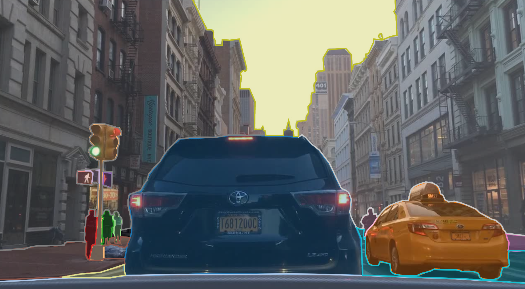
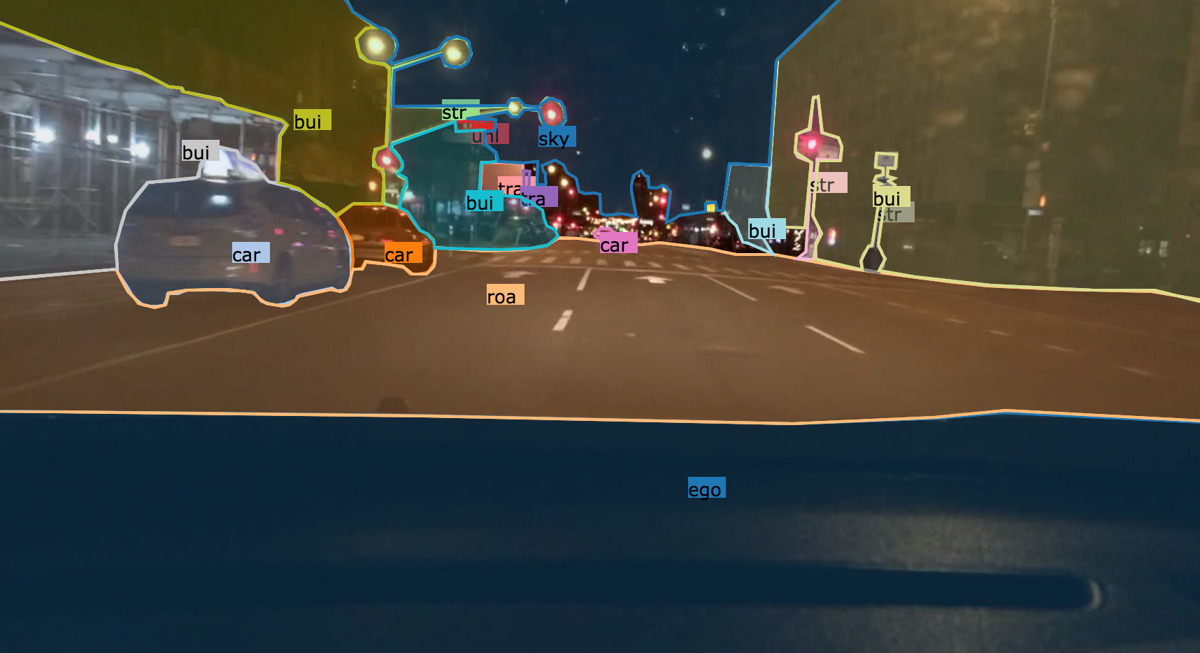
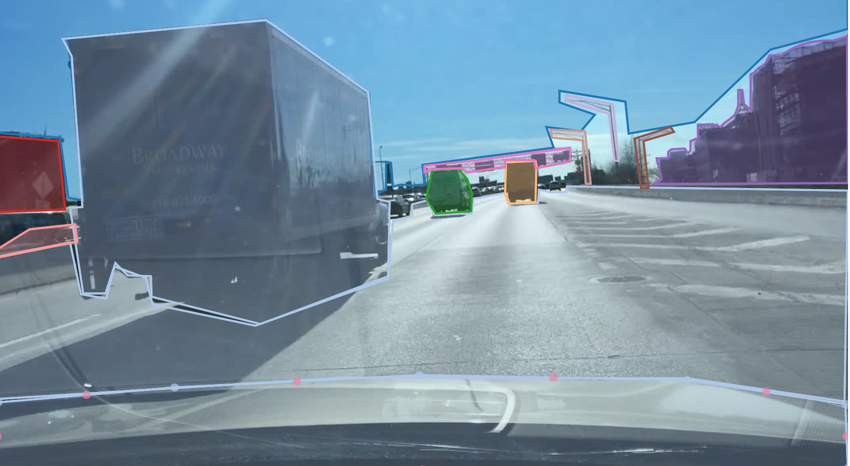
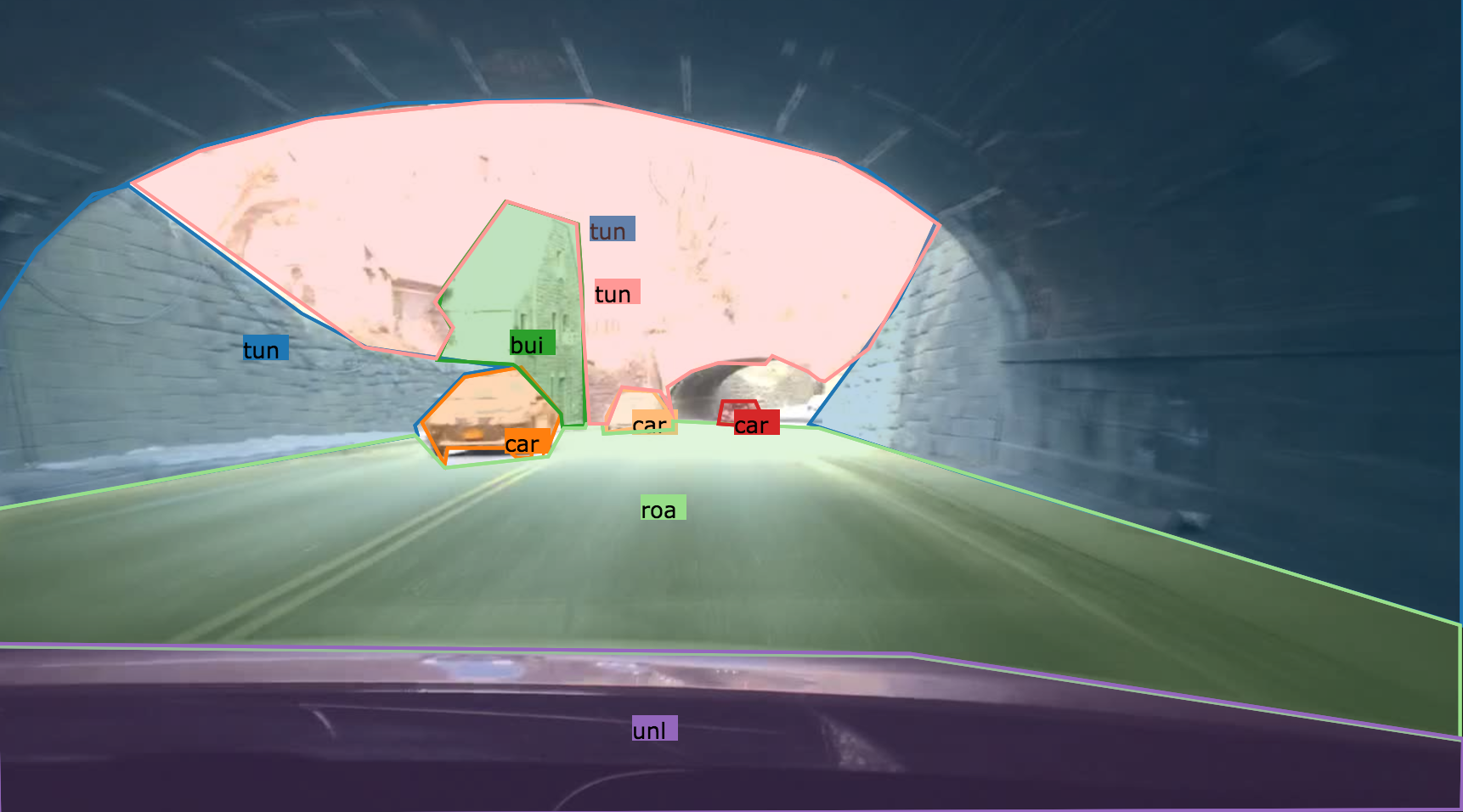
In the following we describe the annotation instructions for the segmentation task. We require two types of segmentation labels: Instance segmentation, which is the annotation of objects (cars, pedestrians, etc.), and semantic segmentation, which is the annotation of stuff (e.g. sky, building, etc.). Together, these two annotation types form the annotations for panoptic segmentation.
1. Your Mission
Your mission is to annotate segmentation labels of the following categories as well as their attributes.
2. Label Categories
With reference to: Cityscapes, there are also some newly added classes.
Category |
Class |
Flat |
road, sidewalk, parking, rail track |
Human |
pedestrian, rider, other person |
Vehicle |
bicycle, bus, car, motorcycle, trailer, train, truck, van, other vehicle |
Construction |
building, bus stop, wall, fence, guard rail, bridge, tunnel, garage |
Object |
banner, billboard, fire hydrant, lane divider, mail box, parking sign, pole, street light, traffic cone, traffic device, traffic light, traffic sign, traffic sign frame, trash can |
Nature |
vegetation, terrain |
Sky |
sky |
Void |
dynamic, static, ground, ego vehicle |
2.1 Flat
2.1.1 Road
Part of ground on which cars usually drive, i.e. all lanes, all directions, all streets. Including the markings on the road. Areas only delimited by markings from the main road (no texture change) are also road, e.g. bicycle lanes, roundabout lanes, or parking spaces. This label does not include curbs.
2.1.2 Sidewalk
Part of ground designated for pedestrians or cyclists. Delimited from the road by some obstacle, e.g. curbs or poles (might be small), not only by markings. Often elevated compared to the road. Often located at the sides of a road. This label includes a possibly delimiting curb, traffic islands (the walkable part), or pedestrian zones (where usually cars are not allowed to drive during day-time). As shown in the second picture below, sidewalk in the middle of the road is still sidewalk.

2.1.3 Parking
Parking lots and driveways. Not for regular driving, but rather to park a vehicle. Different texture than road. In ambiguous cases where the driveway is not separated from the sidewalk (e.g. a building entrance), labeled as sidewalk.
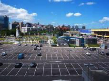

The second image should be considered sidewalk.
2.1.4 Rail Track
All kind of rail tracks that are non-drivable by cars, e.g. subway and train rail tracks, while tram rail tracks are usually drivable by cars and therefore part of road.

2.2 Human
2.2.1 Pedestrian
Examples are people walking and standing. This class also includes toddlers standing or walking on the ground, and someone pushing a bicycle or standing next to it with both legs on the same side of the bicycle. This class includes anything that is carried by the person, e.g. backpack, but not items touching the ground, e.g. trolleys.

2.2.2 Rider
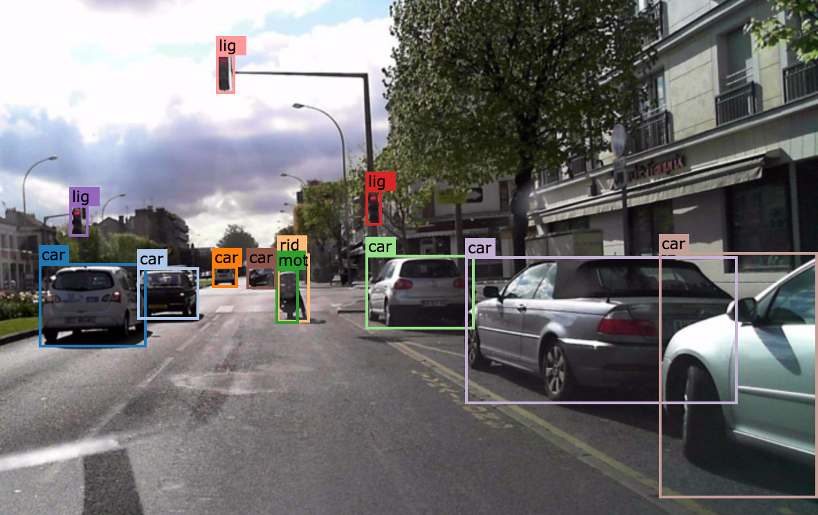
A human that would use some device to move a distance of 1m. Includes, riders/drivers of bicycle, motorbike, scooter, skateboards, horses, roller-blades, wheel-chairs, road cleaning cars, cars without roof, baby carts. The vehicle that the rider is on , such as bicycle, motorcycle and scooter, should be labeled separately. However, do not label a visible driver of any car with roof.
2.2.3 Other Person
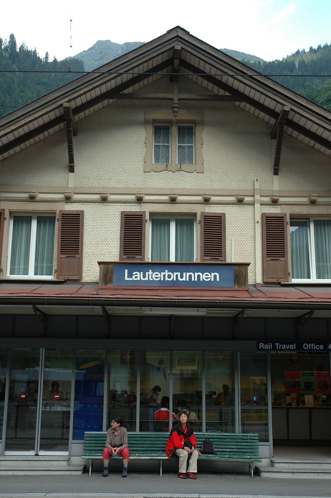
All other humans, for example a sitting person:
2.3 Vehicle
2.3.1 Bicycle
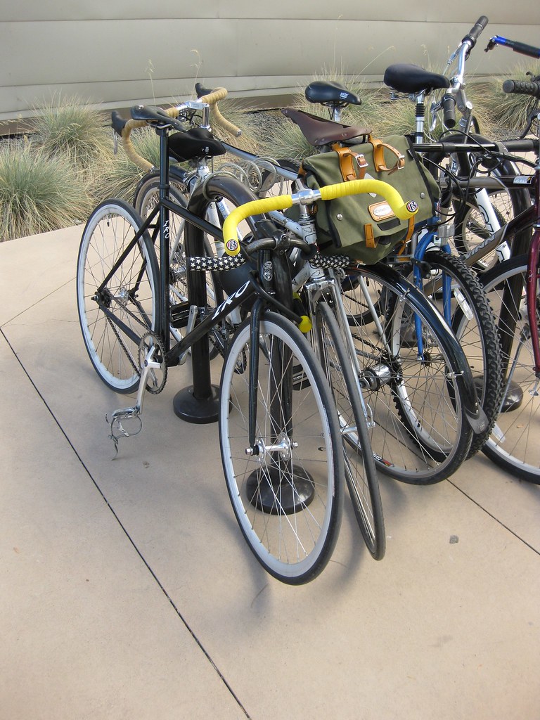
Bicycle with or without the rider

For a bicycle group, turn on the “crowd” attribute. Example:
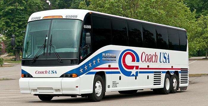
2.3.2 Bus
Bus for 9+ persons, public transport or long distance transport.
2.3.3 Car
Sedan, convertible, coupe, or SUV with continuous body shape; do not include trailers.

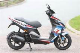
2.3.4 Motorcycle
- Motorbike, moped, or scooter with a seat. A scooter without a seat should be annotated
as “other vehicle”. Annotate the rider separately.
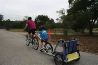
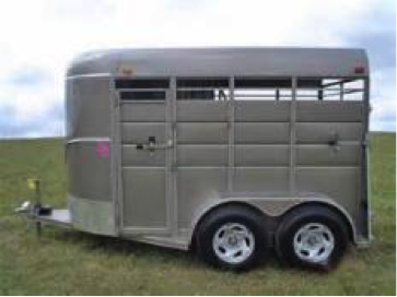
2.3.5 Trailer
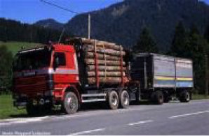
Trailers typically pulled by cars. Note that truck trailers are labeled truck.
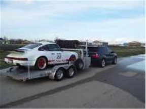
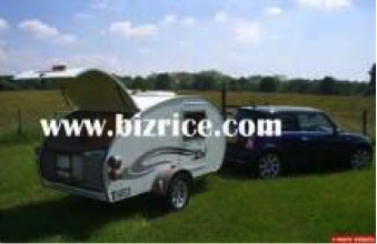
In the first image: the trailer is towed by car, so it’s trailer.

This one should be labeled as truck with a trailer:
2.3.6 Train

2.3.7 Truck
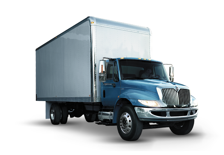
Truck, box truck, pickup truck. Including their trailers. Back part / loading area is physically separated from driving compartment.
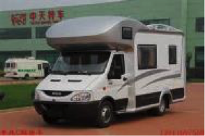
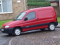
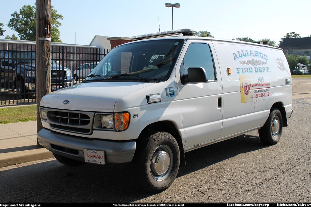
2.3.8 Van
Box-shaped vehicle that is used to transport either people or goods, including MPV, caravans, and delivery vans.

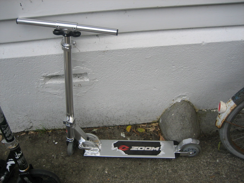
2.3.9 Other Vehicle
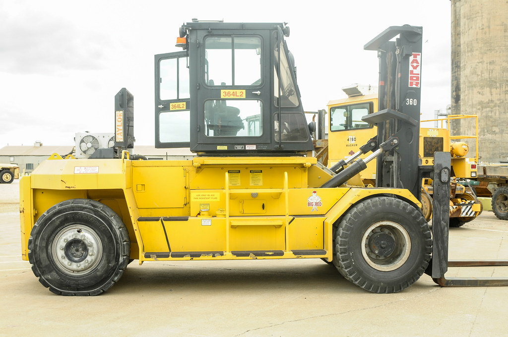
All other forms of vehicles. For example, scooter, forklift, baby cart etc.

2.4 Construction
2.4.1 Building
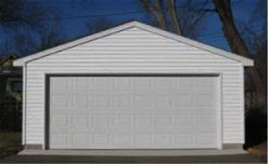
Building, skyscraper, house, bus stop building, garage, car port. If a building has a glass wall that you can see through, the wall is still building. Includes scaffolding attached to buildings.
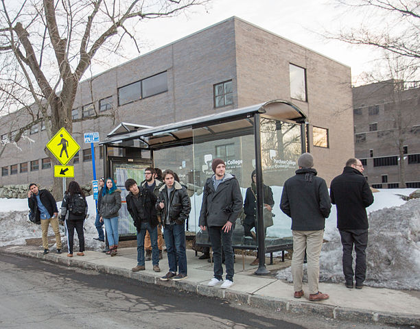
2.4.2 Bus Stop
A bus stop is a designated place where buses stop for passengers to board or alight from a bus.
2.4.3 Wall
Individual standing wall. Not part of a building.
2.4.4 Fence
Fence including any holes.
2.4.5 Guard Rail
All types of guard rails/crash barriers.
2.4.6 Bridge
Only the bridge. Fences, people or vehicles on top are labeled separately.
2.4.7 Tunnel
Tunnel wall and ‘the dark’. No vehicles.
2.4.8 Garage

2.5 Object
2.5.2 Billboard
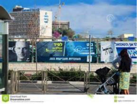
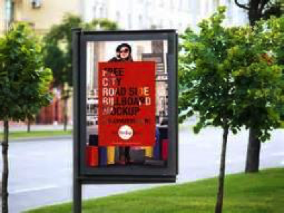
Sign installed from the state/city authority, usually for information of the driver/cyclist/pedestrian in an everyday traffic scene, e.g. traffic- signs, direction signs - without their poles. No ads/commercial signs. The front side and back side of a sign containing the information. Note that commercial signs attached to buildings become building, attached to poles or standing on their own become billboard.

2.5.3 Fire Hydrant
A connection point by which firefighters can tap into a water supply.

2.5.4 Lane Divider
speed camera and other non-signal devices.

2.5.5 Mail Box
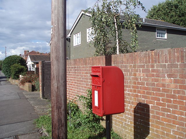
A physical box into which members of the public can deposit outgoing mail intended for collection by the agents of a country’s postal service. The term can also refer to a private letter box for incoming mail.
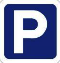
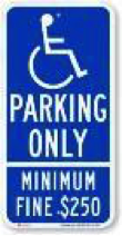
2.5.6 Parking Sign
speed camera and other non-signal devices.

2.5.7 Pole
Small mainly vertically oriented pole. E.g. sign pole, traffic light poles. If the pole has a horizontal part (often for traffic light poles) this part is also considered pole. If there are things mounted at the pole that are neither traffic light nor traffic sign (e.g. street lights) and that have a diameter (in pixels) of at most twice the diameter of the pole, then these things might also be labeled pole. If they are larger, they are labeled static.
Multiple poles that are cumbersome to label individually. If the gap between two poles has at most as many pixels width as a single pole, you can label the whole pole group with a single label with the “crowd” attribute on.
2.5.8 Street Light
As labeled in the second picture, only the light parts should be labeled as street light, the rest of the pole part should be labeled as pole.

2.5.9 Traffic Cone

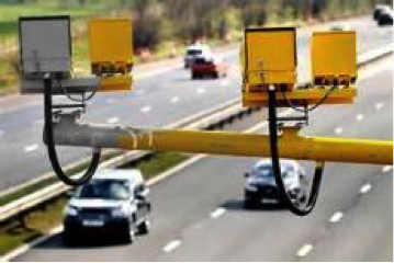
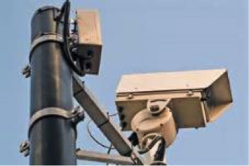
2.5.10 Traffic Device
Speed camera and other non-signal devices.
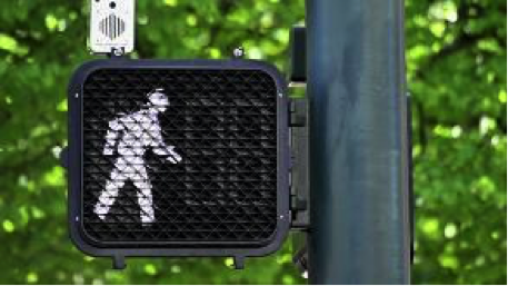
2.5.11 Traffic Light
The traffic light box without its poles.
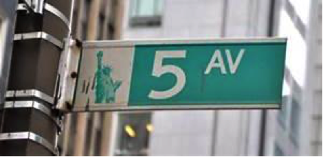
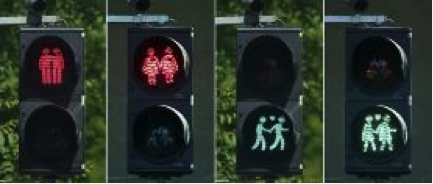
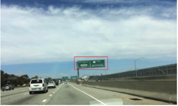
2.5.12 Traffic Sign
Sign installed from the state/city authority, usually for information of the driver/cyclist/pedestrian in an everyday traffic scene, e.g. traffic- signs, direction signs - without their poles. No ads/commercial signs. The front side and back side of a sign containing the information. Note that commercial signs attached to buildings become building, attached to poles or standing on their own become billboard.

2.5.13 Traffic Sign Frame
speed camera and other non-signal devices.

2.5.14 Trash Can
2.6 Nature
2.6.1 Vegetation
Tree, hedge, all kinds of vertical vegetation. Plants attached to buildings are usually not annotated separately and labeled building as well. If growing at the side of a wall or building, marked as vegetation if it covers a substantial part of the surface (more than 20%).
2.6.2 Terrain
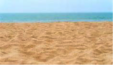
Grass, all kinds of horizontal vegetation, soil or sand. These areas are not meant to be driven on. This label includes a possibly delimiting curb. Single grass stalks do not need to be annotated and get the label of the region they are growing on.

2.7 Sky
2.7.1 Sky
Open sky, without leaves of tree. Includes thin electrical wires in front of the sky.
2.8 Void
2.8.1 Dynamic
Things that might not be there anymore the next day/hour/minute: Movable trash bin, buggy, bag, wheelchair, animal.
2.8.2 Static
Clutter in the background that is not distinguishable. Objects that do not match any of the above. For example, visible parts of the ego vehicle, mountains, street lights. Also rather small regions in the image that are some of the classes above, but that are cumbersome to label precisely might be annotated static.
2.8.3 Ground
All other forms of horizontal ground-level structures that do not match any of the above. For example areas that cars and pedestrians share all-day, roundabouts that are flat but delimited from the road by a curb, elevated parts of traffic islands, water. Void label for flat areas.
2.8.4 Ego Vehicle
The vehicle that the camera is mounted on.
3. Label Attributes
3.1 Occluded
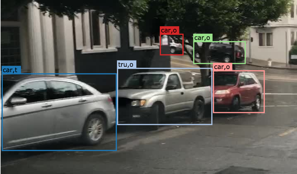
An object annotated as “occluded” when one object is hidden by another object. e.g. two persons walking past each other, or a car that drives under a bridge or parks behind another car.
Good example: annotate all visible parts of the object.
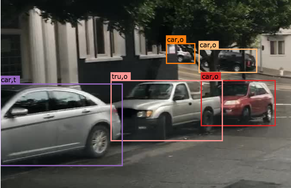
Bad example: missed some visible parts of the object.
3.2 Truncated
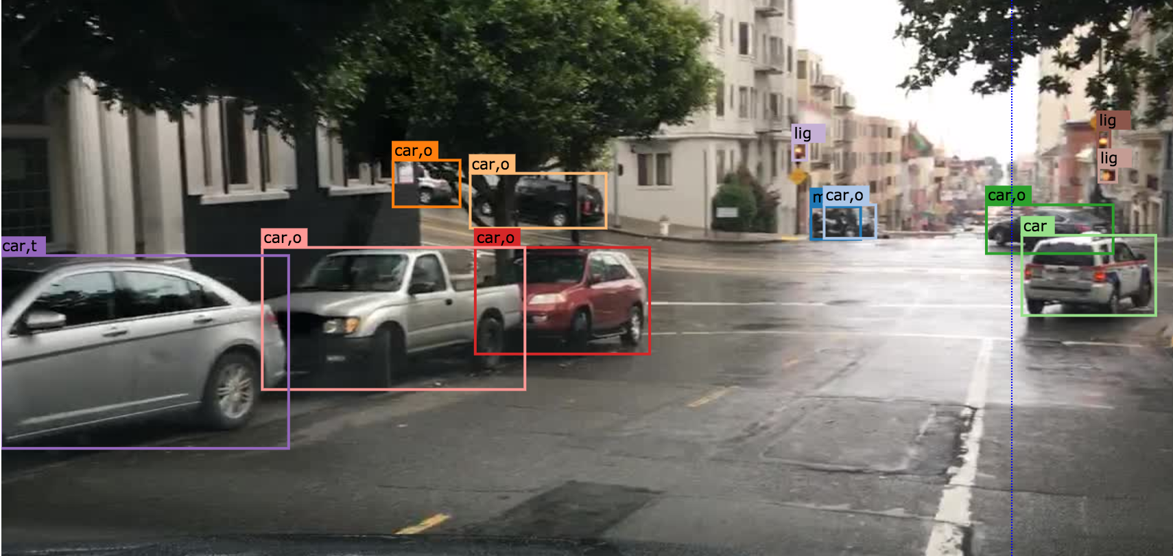
An object annotated as “truncated” indicates that the bounding box specified for the object does not correspond to the full extent of the object e.g. an image of a person from the waist up, or a view of a car extending outside the image.
3.3 Traffic Light Color
For traffic lights, identify the color by selecting “G” (green), “Y” (yellow), or “R” (red). If neither of the color applies, select “NA”.
3.4 Crowd
Normally each label only contains one instance. However, if the boundary between such instances cannot be clearly seen, the whole crowd can labeled together. Turn the “crowd” attribute on for crowd labels.
4. Basic Operations
4.1 The Interface
Category and attributes loaded during project creation are shown in the left sidebar. The number of labels in the current image is shown on the left of the title bar.
4.1.1 Jump between images
go to the previous/next image by clicking the “<”/”>” buttons, or the left/right arrow keys. You can also edit the index of the image and hit “Enter” to jump to a specific image.
4.1.2 Zoom in/out
- To zoom in/out, click the “+”/”-” buttons or the ‘+’/’-’ keys.
You can also zoom by scrolling while pressing the Ctrl key (Cmd for Mac users). You can drag the image around while pressing the Ctrl key (Cmd for Mac users).

4.1.3 Saving and submitting
To save the results of the current task, click “Save”. Always save the task before refreshing or leaving the annotation interface. Once done labeling each image of the whole task, click Submit to indicate that the whole task is finished.
4.2 Segmentation Annotation
4.2.1 Draw a polygon
Click on the image to start a label, and close the path to finish drawing a polygon. Press ‘d’ to delete the latest vertex while drawing.
4.2.2 Edit a segmentation label
To make any change to a segmentation label (e.g. change category/attribute, delete, add/move vertex), select it first. Double-click on a segmentation label to select it, and single click on elsewhere deselects it. A selected label is filled with purple.
Select the category/attribute in the left toolbar to change the category/attribute of the currently selected label.
To move a vertex, select the category/attribute in the left toolbar to change the category/attribute of the currently selected label.
To add a vertex on an edge, click the midpoint (drawn in white) to convert the midpoint into a vertex. You can then adjust the new vertex’s position.
To delete a vertex, click on the vertex while pressing ‘d’.
To convert straight edge to Bezier curve, click on the midpoint of the edge while pressing ‘c’. Adjust the two control points to produce a tight-fitting curve. To recover a Bezier curve back to a straight edge, click on a control point of the curve while pressing ‘c’.

4.2.3 Link segmentation labels
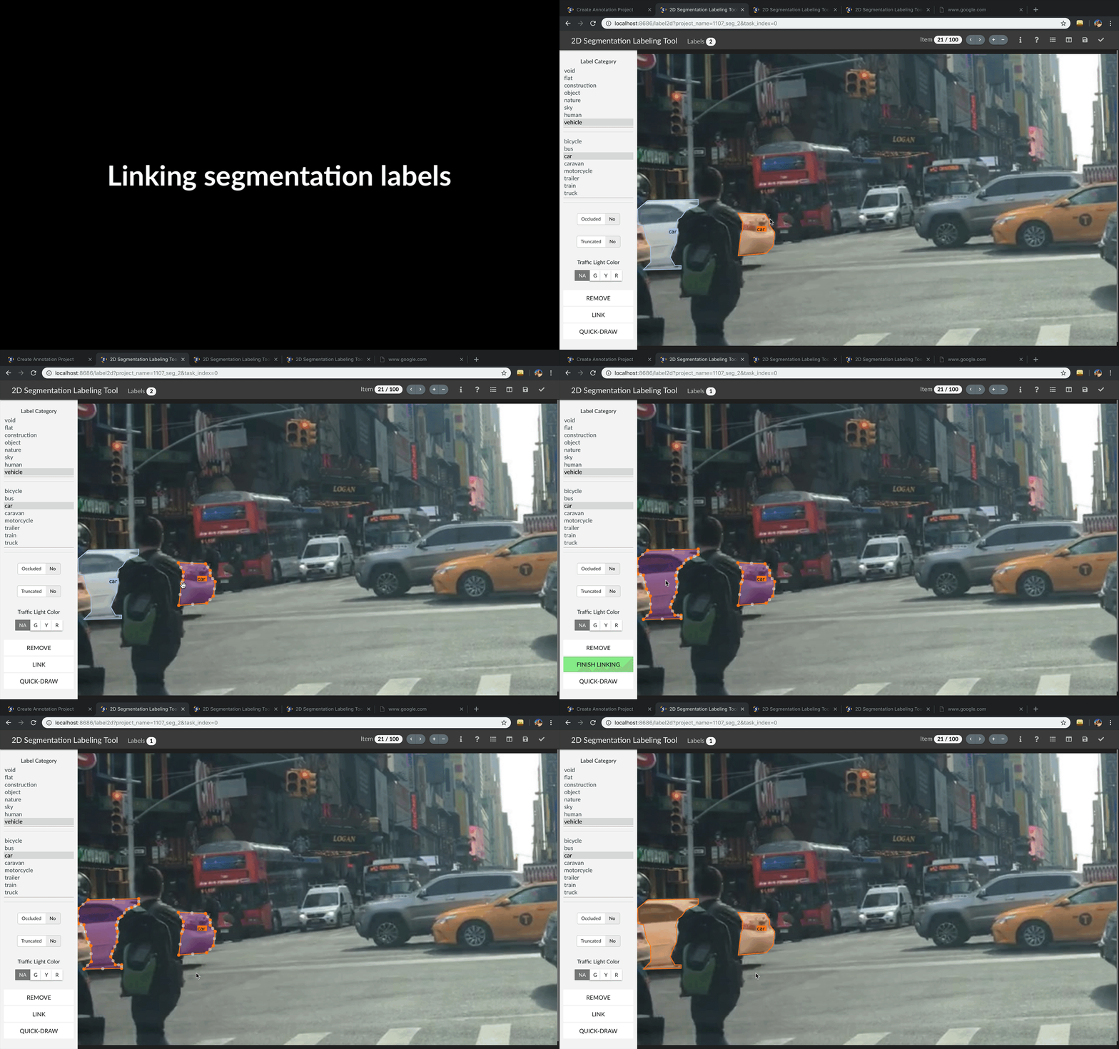
Sometimes objects can be divided into multiple parts in the image due to occlusion. To link different polygons, select a segmentation label, and press Ctrl-L (Cmd-L for Mac users) or the Link button to start linking. Single click on all labels that you want to link, and hit Enter to finish linking.
4.2.4 Border Sharing with Quick Draw
Quick Draw is a useful tool for border sharing. When drawing a segmentation label that needs to share a border with an existing label, press Ctrl-D (Cmd-D for Mac users) or the Quick Draw button to start Quick Draw mode. First select a polygon to share the border with, and then select the starting vertex and the ending vertex of the shared border. Press Alt to toggle between two possible shared paths. Hit Enter to end Quick Draw.

5. Notice
Labels not identified in any category are treated as void (or in the case of license plate as the vehicle mounted on).
Labeled foreground objects must never have holes, i.e. if there is some background visible ‘through’ some foreground object, it is considered to be part of the foreground. This also applies to regions that are highly mixed with two or more classes: they are labeled with the foreground class. Examples: tree leaves in front of house or sky (everything tree), transparent car windows (everything car).
Labels with area less than 50 pixels are ignored (these small labels will be automatically deleted when closing a polygon).
To edit a label occluded by another, try to move this label to front in order to select it. Press the up/down arrow key to move a label forward/backward, and press Ctrl-F/Ctrl-B (Cmd-F/Cmd-B for Mac users) to move a label to front/back.
Toggle the keyboard usage window by pressing ‘?’. Being familiar with the keyboard shortcuts can help you annotate much more efficiently.
Hit Ctrl-H (Cmd-H for Mac users) to hide category label tags on the bounding boxes, and to show them after hitting Ctrl-H (Cmd-H for Mac users) again.
Note that the delete operation is not reversible.
Report bugs and send questions to bdd-label-help@googlegroups.com.


